Analysis of the quality of primary forest accessibility: the case study
DOI:
https://doi.org/10.7251/GSF2333002PKeywords:
DTM, forest roads, GIS, relative forest accessibilityAbstract
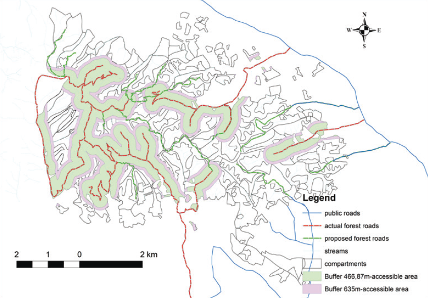
Relative forest accessibility percent of accessible forest area by forest roads in comparison with total forest area is the most important indicator of the quality of primary forest accessibility. The accessible forest area by forest roads is determined by the bounded area around forest roads. Today, in the area with steep and variable slopes of terrain, a double targeted geometrical extraction distance of timber is used for the width of the bounded area around forest roads, and the forest road spacing is used in the area with a mild and uniform slope of the terrain. Both parameters depend on the targeted density of forest roads. Modern information technologies (IT) like geographical information systems (GIS) enable the quality spatial and statistical analysis of different kinds of data whose result is not accessible forest areas by current primary forest traffic infrastructure only, but also an insight into the spatial distribution of insufficient accessible areas into the forest area. The spatial distribution of these areas is significant for spatial distribution of the new routes of forest roads. The research is done in the area of Forest Management Unit (FMU) Prosara, for which the spatial analysis of a digital terrain model (DTM) determined the mostly hilly relief area. The average relative forest accessibility, based on double targeted geometrical extraction distance of timber, is 35% for the actual network of forest roads, and targeted forest road spacing is 60% for the upgraded network of forest roads.

Downloads
Published
Issue
Section
License
Copyright (c) 2023 Vladimir Petković, Dane Marčeta, Muhamed Bajrić

This work is licensed under a Creative Commons Attribution 4.0 International License.